2D & 3D Design: Wayfinding
Wayfinding Harmonization
Client
Metrolinx
Scope of Work
- Research
- Engagement
- Strategy
- Design principles
- System Identifier
- Wayfinding and signage harmonization
- Graphic design
- Industrial design
- Pilot Evaluation
The Greater Toronto and Hamilton Area is in the process of a major transformation in public transit infrastructure.
Metrolinx, an agency of the Government of Ontario, was created to improve the coordination and integration of all modes of transportation in the Greater Toronto and Hamilton Area. This area is now in the process of a major transformation in public transit infrastructure. Historically, the region’s ten transit operators have worked independently within their municipal boundaries, employing contrasting wayfinding information, planning and design standards. This siloed approach has resulted in significant inconsistencies in nomenclature, coding and transit information display, making it difficult to plan and make cross-municipal journeys in the region, particularly at interchange hubs.
Regional transit integration requires consideration of fare structure, zone boundaries and mode transfer. These issues underlie significant policy and governance challenges. The communication and signage of this information in a clear consistent manner is essential for a customer-first solution.
This highly complex, multi-year project involved the writing of white papers, public and expert consultation and the development of region-wide wayfinding, planning and design standards, harmonizing information display across the full range of complex architectural platforms as well as the development of sophisticated digital wayfinding and signage products.
KerrSmith worked with Applied Wayfinding of London across all levels of the “Seamless Network” project from planning, liaison, research, design, prototyping and testing.
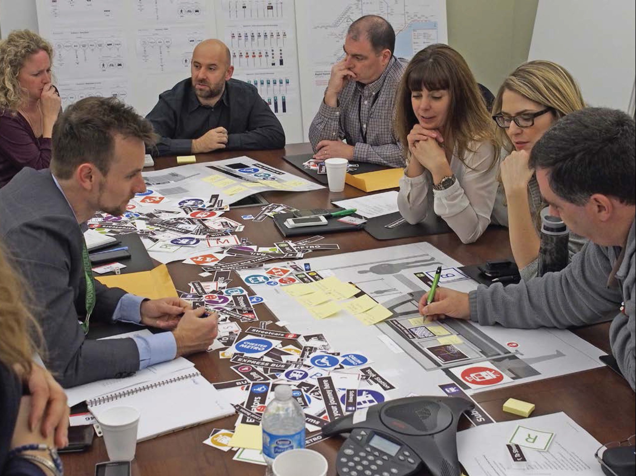
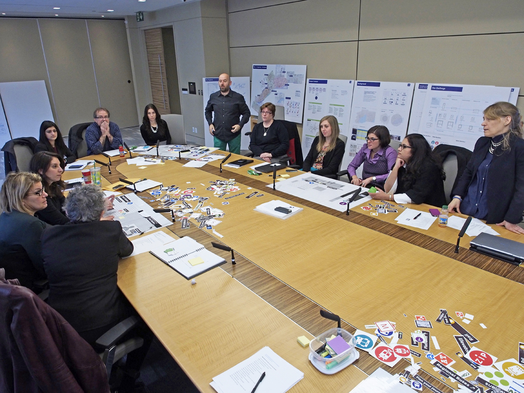
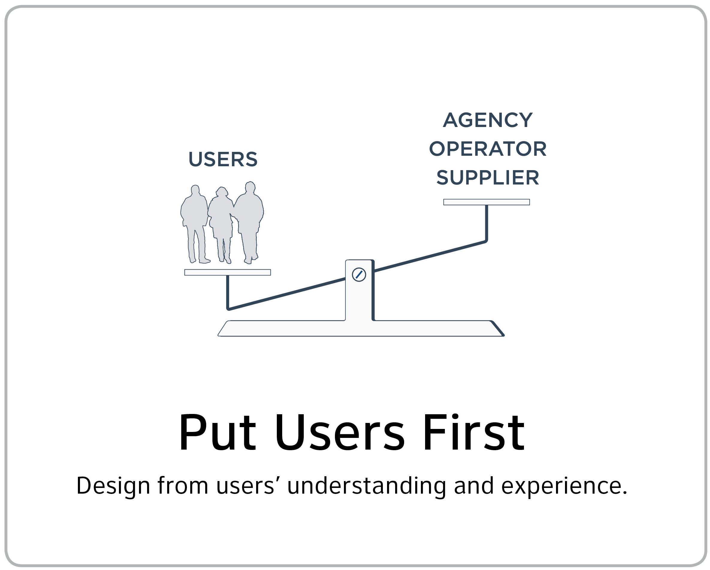
Seamless integration of transit communications required the establishment of foundational Design Principles to share understandings, to build common purpose and to develop design solutions. Shared vision and goals were established to move the project forward. This work included a wide range of collaborative research methods including customer journey mapping, literature review, expert interviews, ethnography, and stakeholder engagement, and was subject to intense public and broad-based governmental scrutiny. “Seamless Network” required convening different groups of public stakeholders (passengers, workers and neighbors) and regional transit representatives and experts.
The end of the first phase of the project resulted in the delivery of full regional design standards including summative reporting on methodology, discussion of target audiences, recommendations, guidelines for Universal Design solutions, graphic and industrial design guidelines and approaches to sign planning, installation, messaging and lighting.
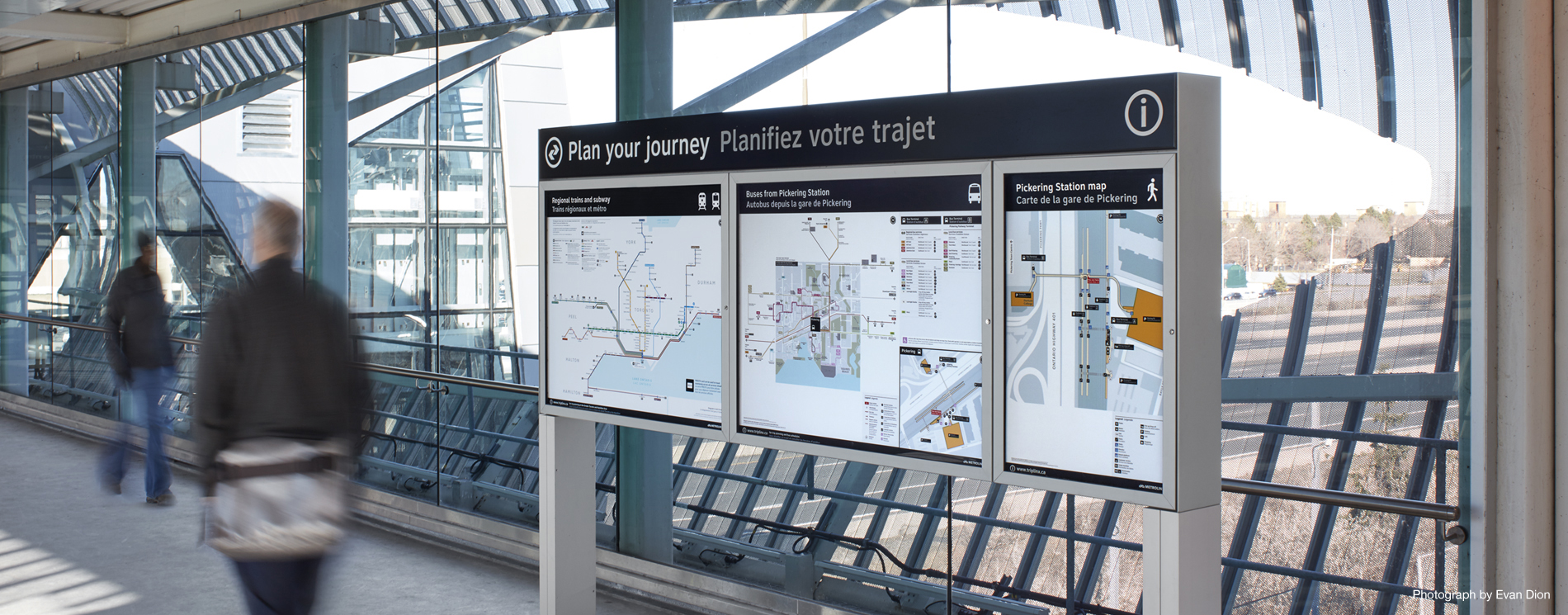
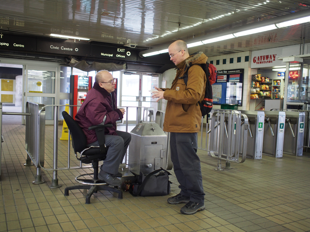
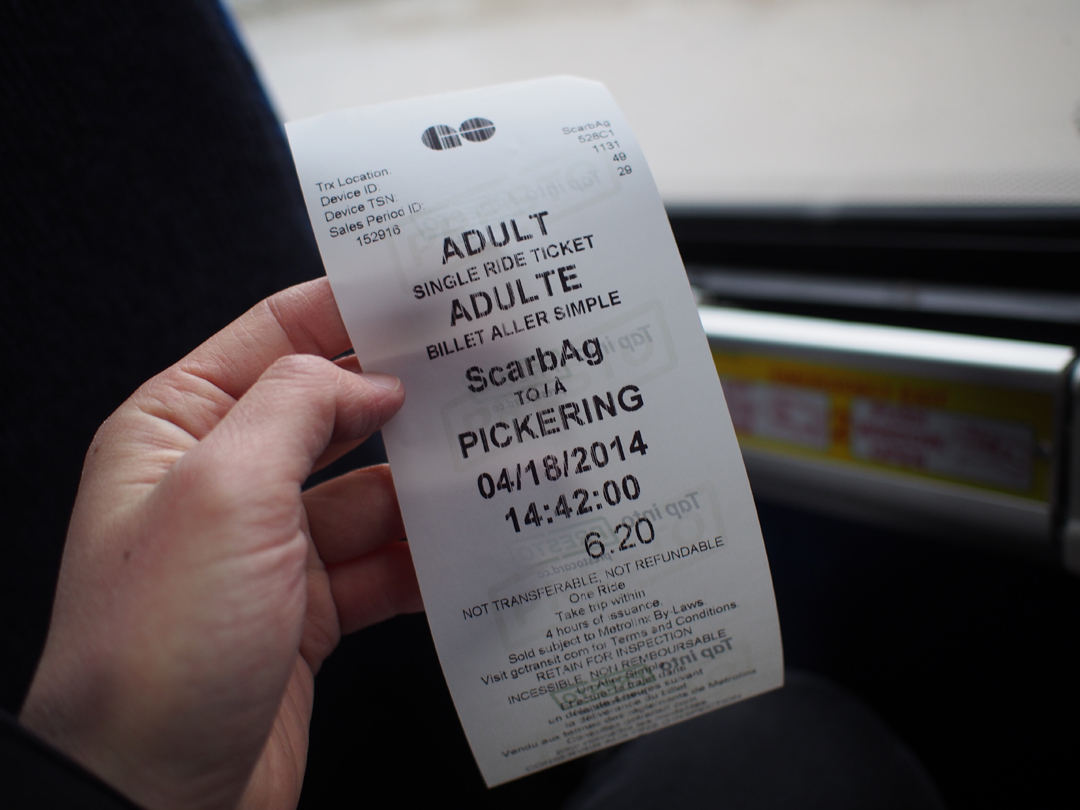
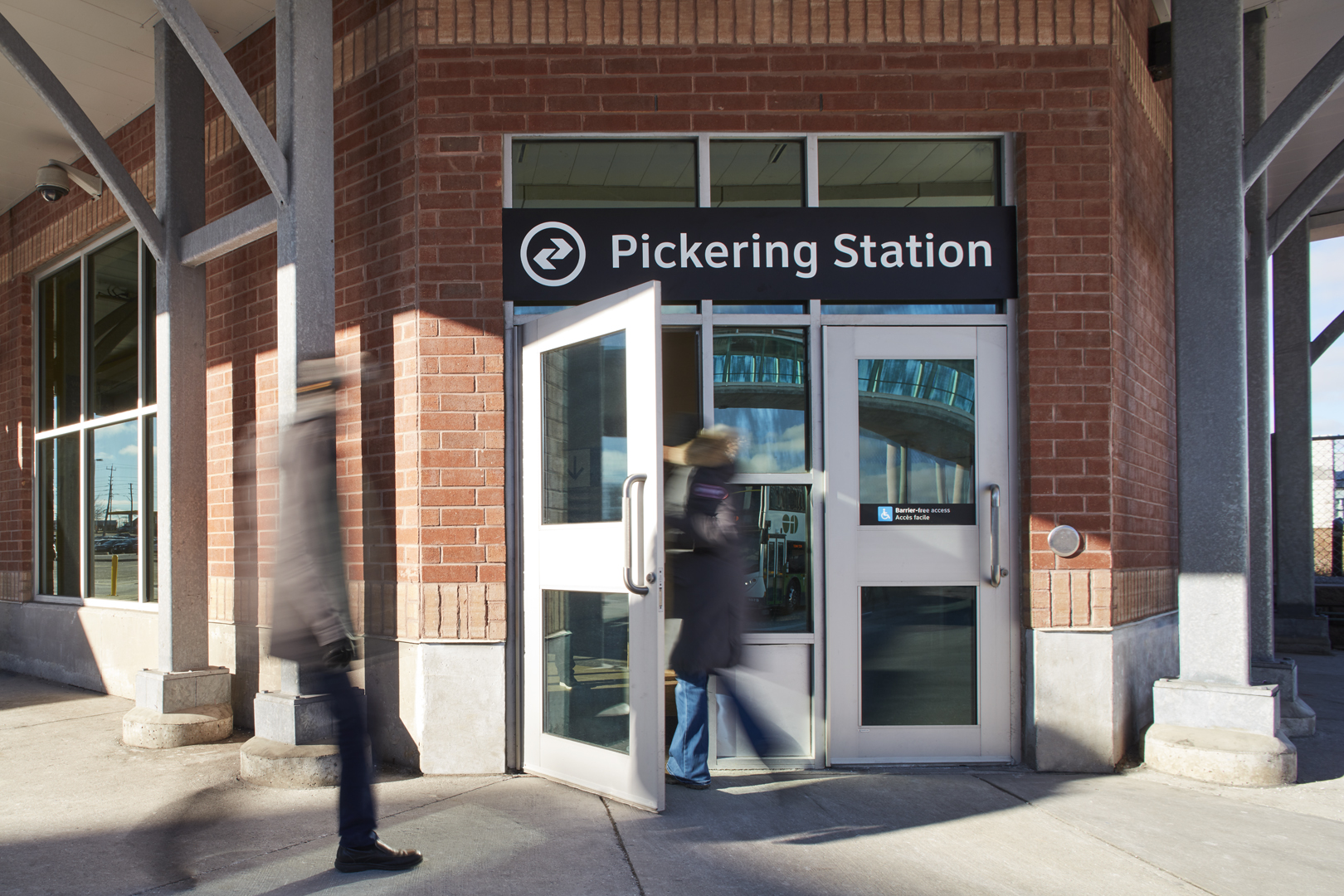
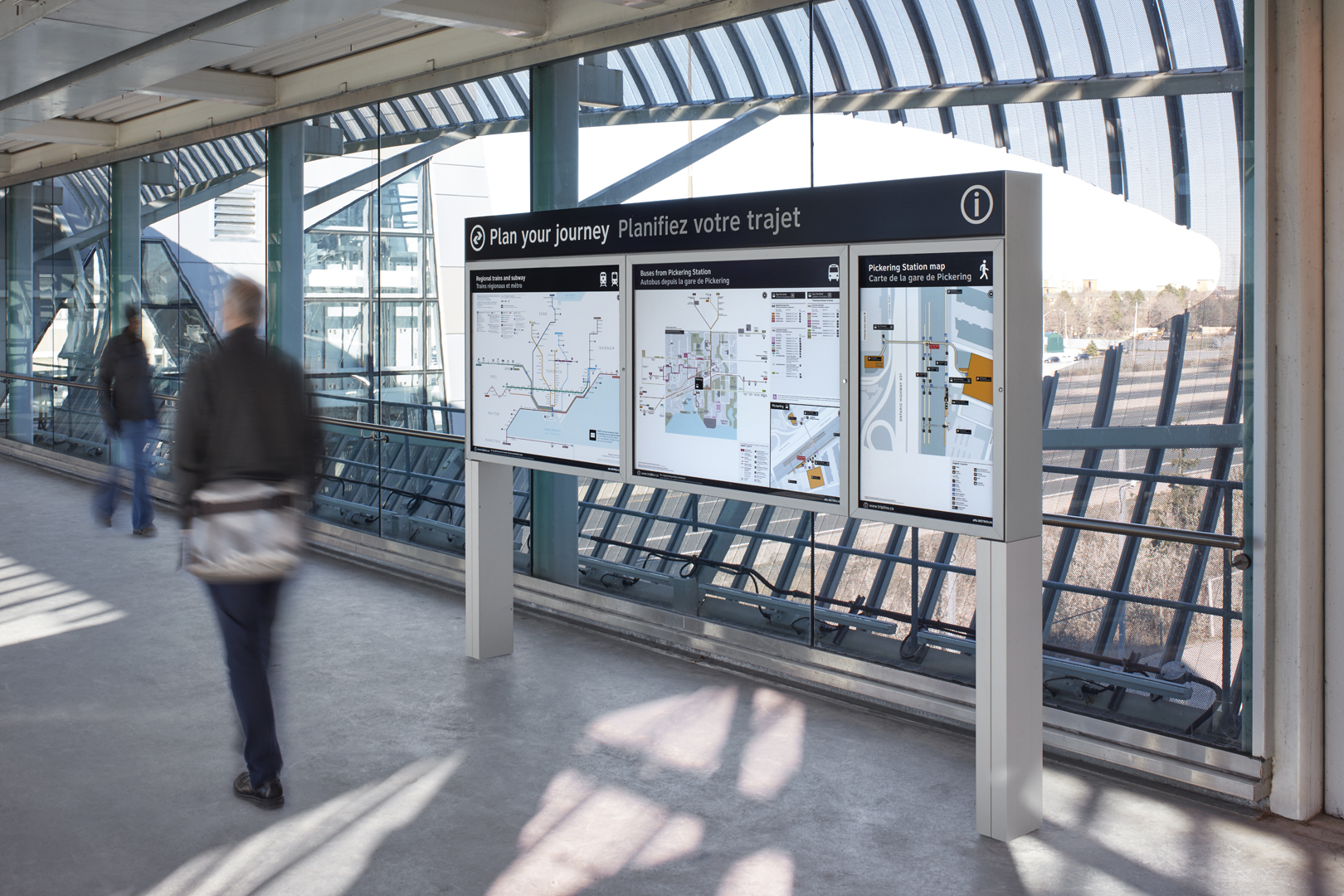
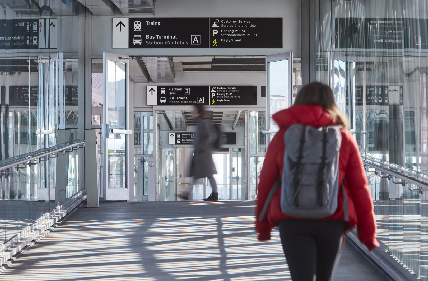
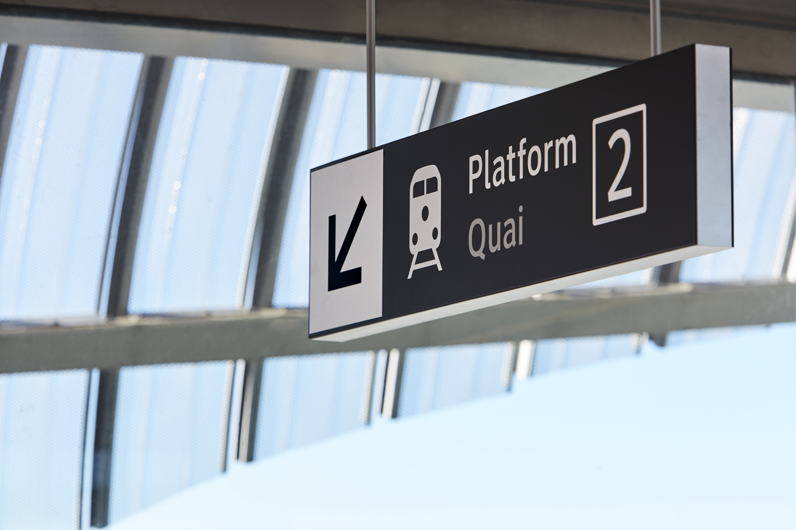
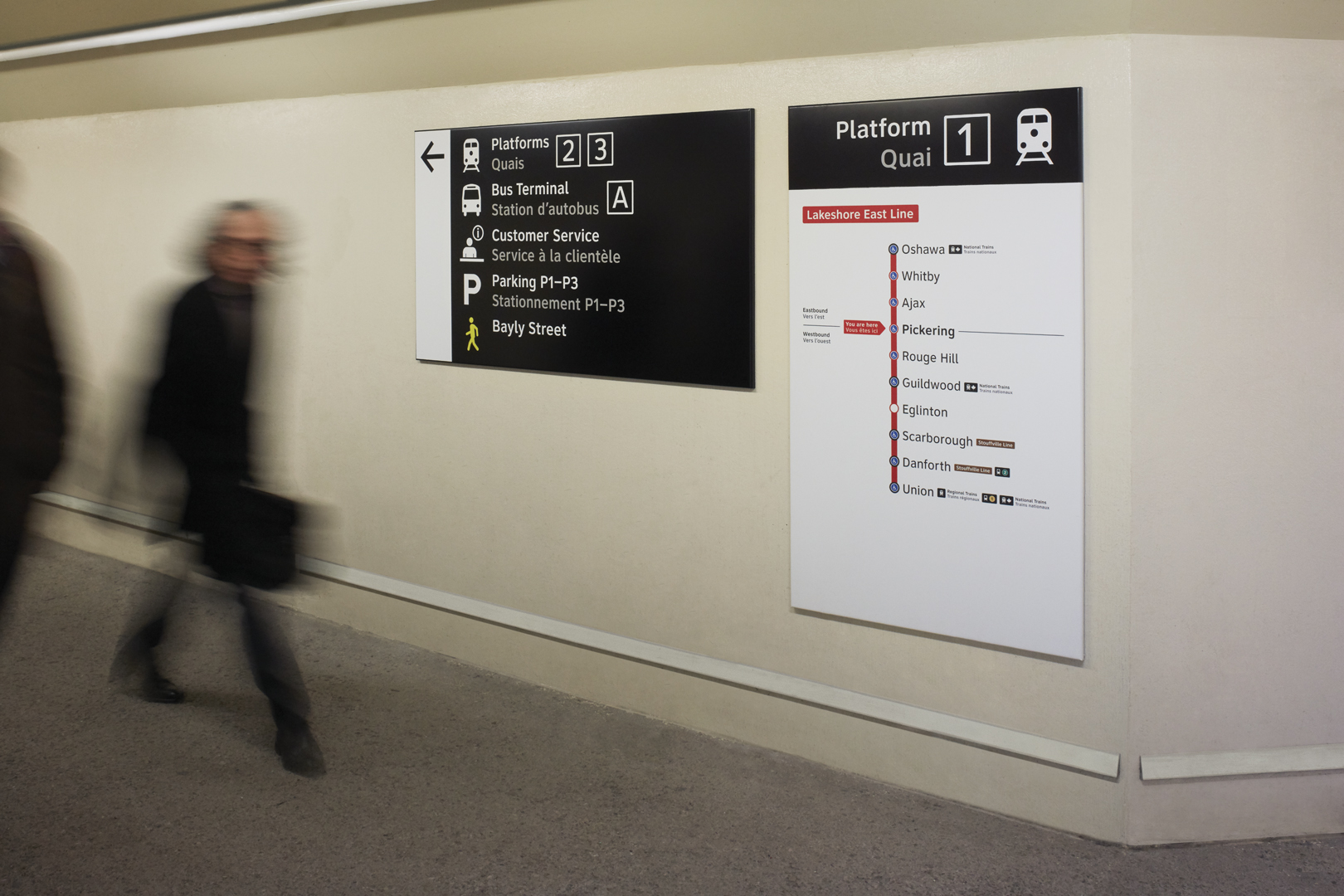
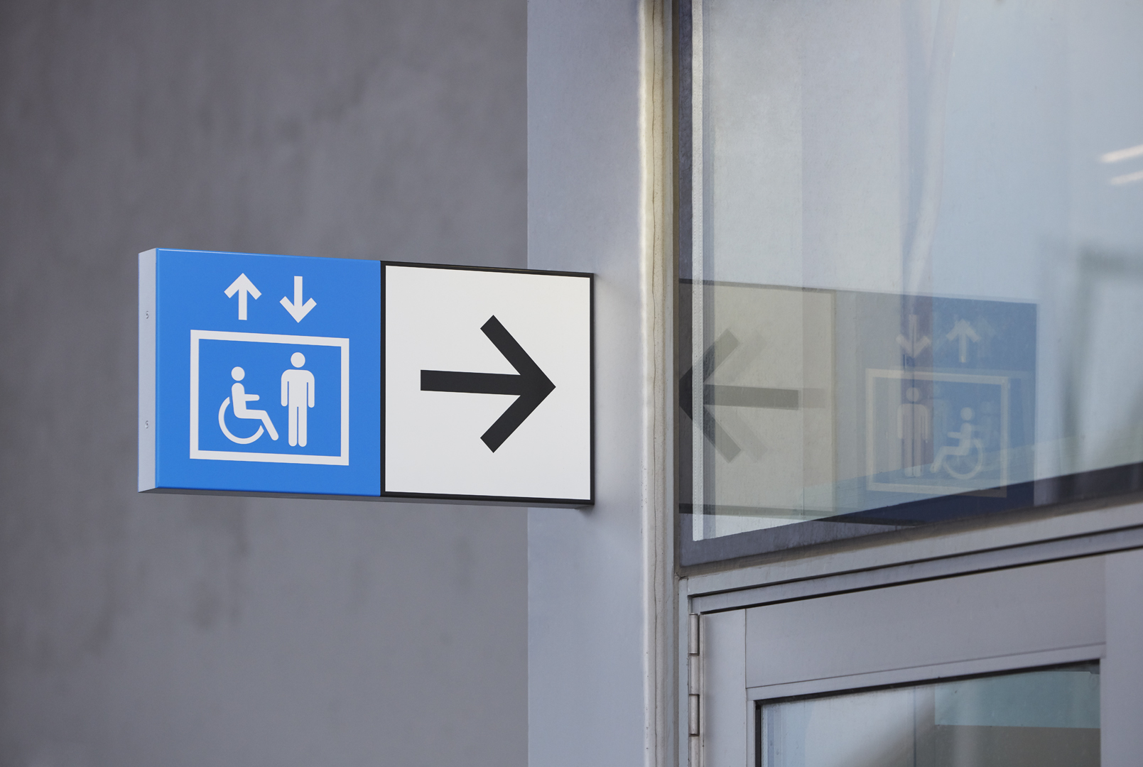
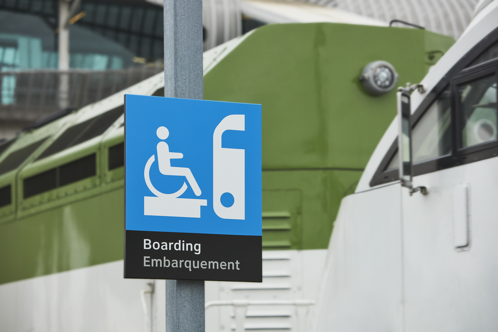
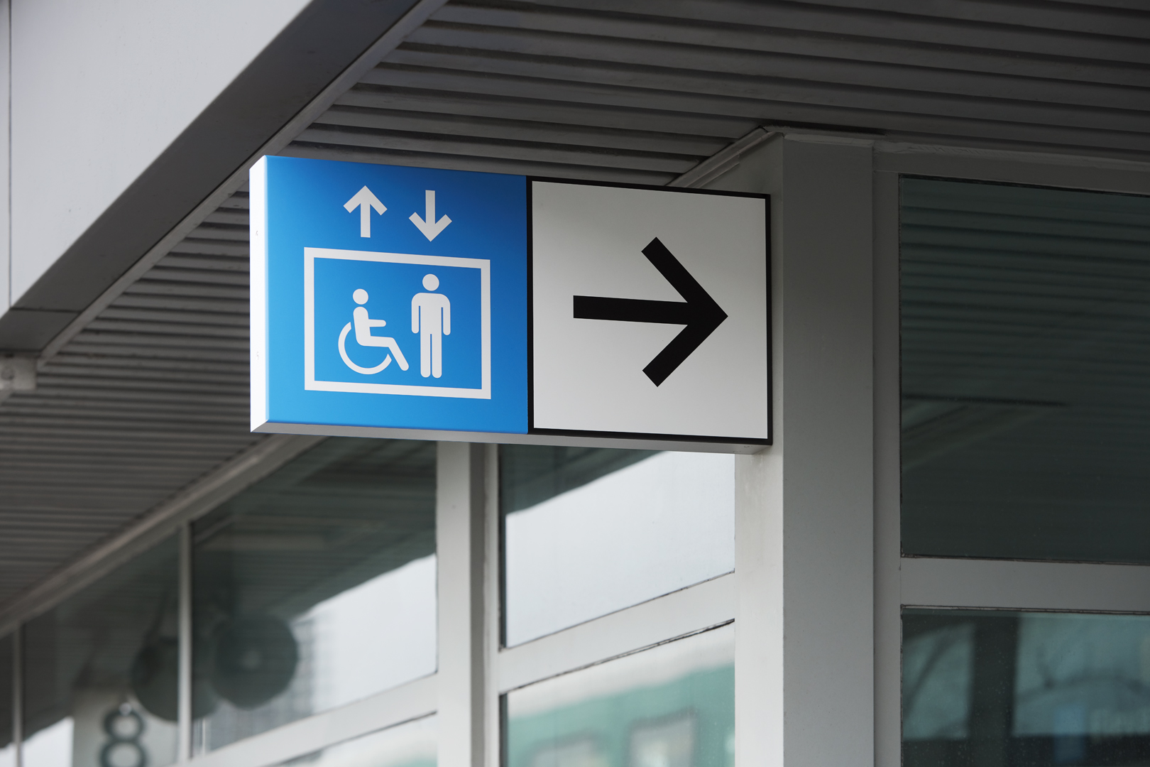
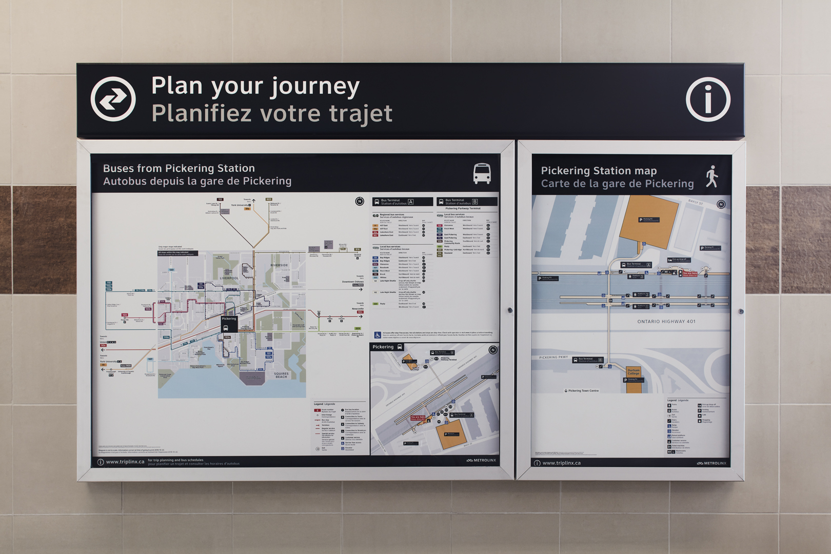
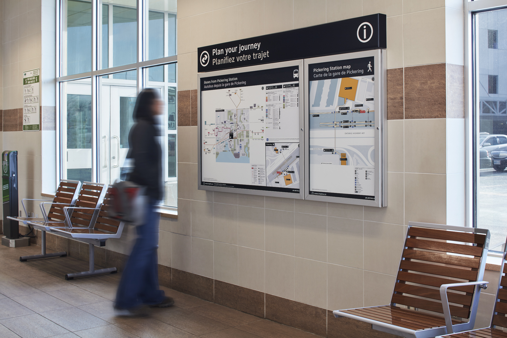
We worked with a multi-disciplined team to design, manufacture and install 275 signs, maps, display cases, bus stops, platform signs and identification placards at a multi-modal transit station at Pickering just east of Toronto. This test site is currently being evaluated in premonition of a region-wide implementation strategy. Ongoing public stakeholder engagement will be essential for a successful and meaningful new system design for the region.
It was essential to take a Systems Thinking approach to this work for Metrolinx, exploring the deeper causes, interactions and implications that drive the systems dynamics in the longer term. This enabled us to broaden the perspectives of participants to think beyond silos and consider fully integrated and more effective solutions.
What is Wayfinding?
"Wayfinding" is more than just signs and maps. It is a broad term that refers to the entire set of information and tools that people use to orient themselves and navigate from one place to another.
For this project we have considered nomenclature, codification, accessibility, branding, typical customer journeys and Progressive Disclosure.
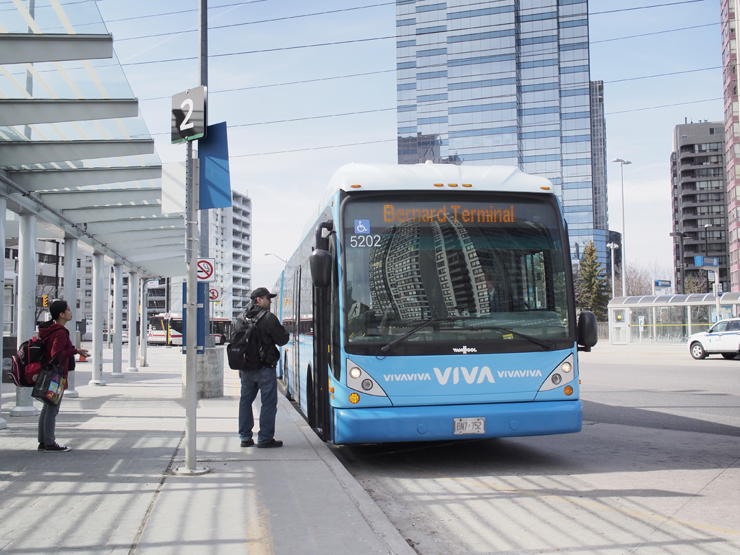
Developing a regional wayfinding system for public transit will impact many different types of customer information and transit infrastructure.
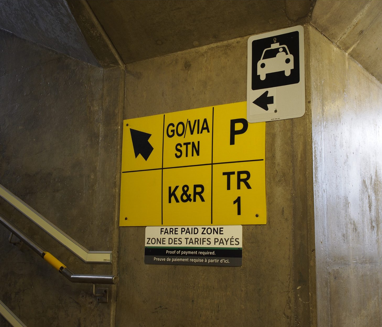
An example of some of the mysterious signage we found in our initial research of transit wayfinding in the GTHA.
Research
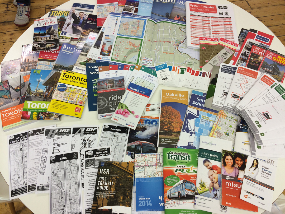
In order to create a user-centred wayfinding system a variety of information gathering processes were conducted consisting of desk research, field research, interviews, and customer journeys. Information was used to develop prototypical customer travel scenarios which helped determine progressive information users need during a trip.

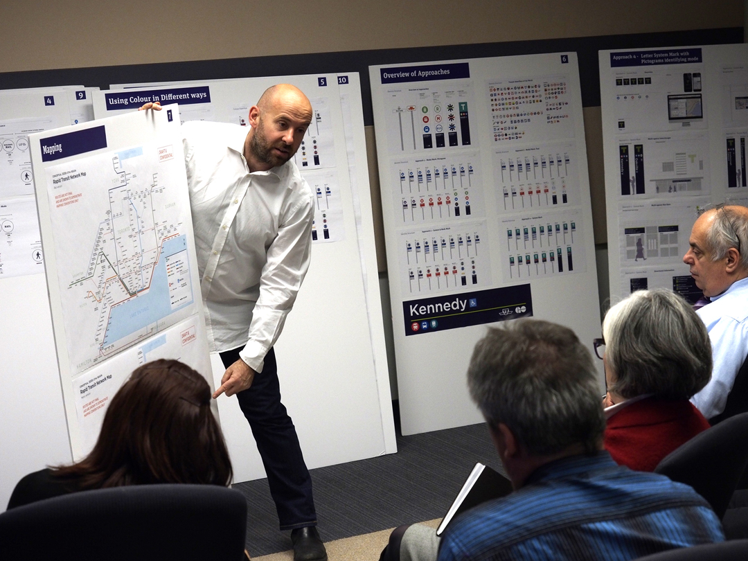
Workshops
Using co-creative techniques, the team listened to opinions, ambitions, constraints and shared ideas about
customer experience and information across the GTHA. A steering committee with representatives from all agencies, meets regularly to assess progress and deliver feedback.
Design Principles
Eleven design principles were established that will inform a harmonized system and will serve as the basis for future implementation.
Photography by Evan Dion

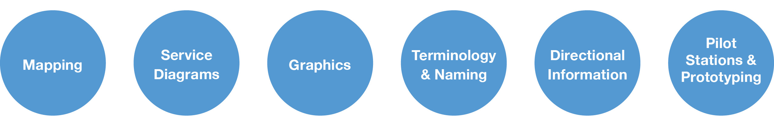
Work in Progress
The team is developing preliminary ideas across a number of the initiatives. Design solutions must be consistent, coherent, functional, aesthetically appealing, easy to use, continuous and memorable. We are incorporating different levels of information: identification, directional information, safety, security and accessibility.
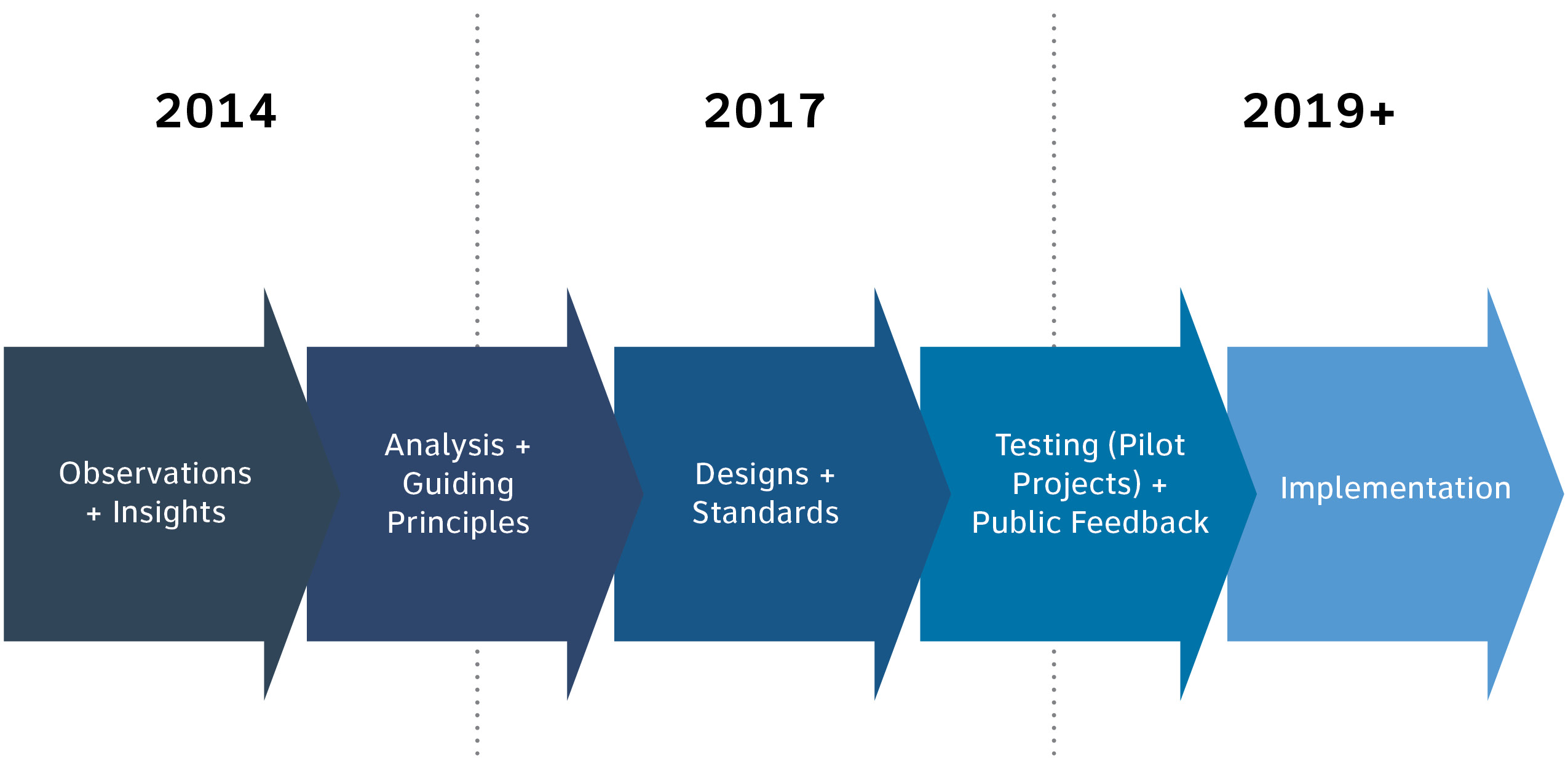
Making it Happen
The following diagram indicates some approximate milestones for the next steps in wayfinding harmonization that will allow for the collection of public feedback on the new wayfinding system before incorporating it into all future transit projects.
© KerrSmith Design 2023
550 Queen St. East, Unit 335
Toronto, ON M5A 1V2
416-703-5377