[one_half]
Foresight
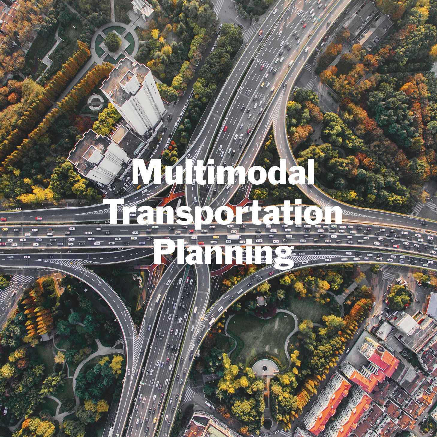
Multimodal Transportation Planning for the Greater Golden Horseshoe
What will the Greater Golden Horseshoe region look like in 2071?

Scope of work
- Research
- Engagement
- Horizon Scan
- System maps
- Foresight Workshops
- Scenario Planning
[supsystic-social-sharing id='1']
[/one_half]
[one_half_last]
Project Description
Southern Ontario with 9.5 million people is the second fastest growing region in North America and a key driver of the Canadian Economy. The provincial government had adopted an aggressive localized development intensification strategy in an effort to reduce greenhouse gas emissions and forestall climate change impacts. In light of this, the Ministry of Transportation commissioned an innovative approach to long-term transportation and land use planning: a provocative fifty-year forward Foresight exploration to guide the subsequent 25-year planning of integrated engineering and urban design. We led the move to resilient thinking through the exploration of multiple future scenarios, built on deep research of emerging change signals and broad participatory involvement of authorities, innovators and regional stakeholders from various levels of government and institutions.
We worked with a multidisciplinary team of urban planners, transportation engineers, geo-spatial modellers, government policy makers, researchers, First Nations consultants, data experts and interviewed a range of experts to supplement our desk research.
We established a wider contextual understanding of potential regional changes with the core team. Research, insights, graphics and images were used to create effective documents and presentations to bring vision and focus to the project.
Three Stages
The project unfolded in three stages:
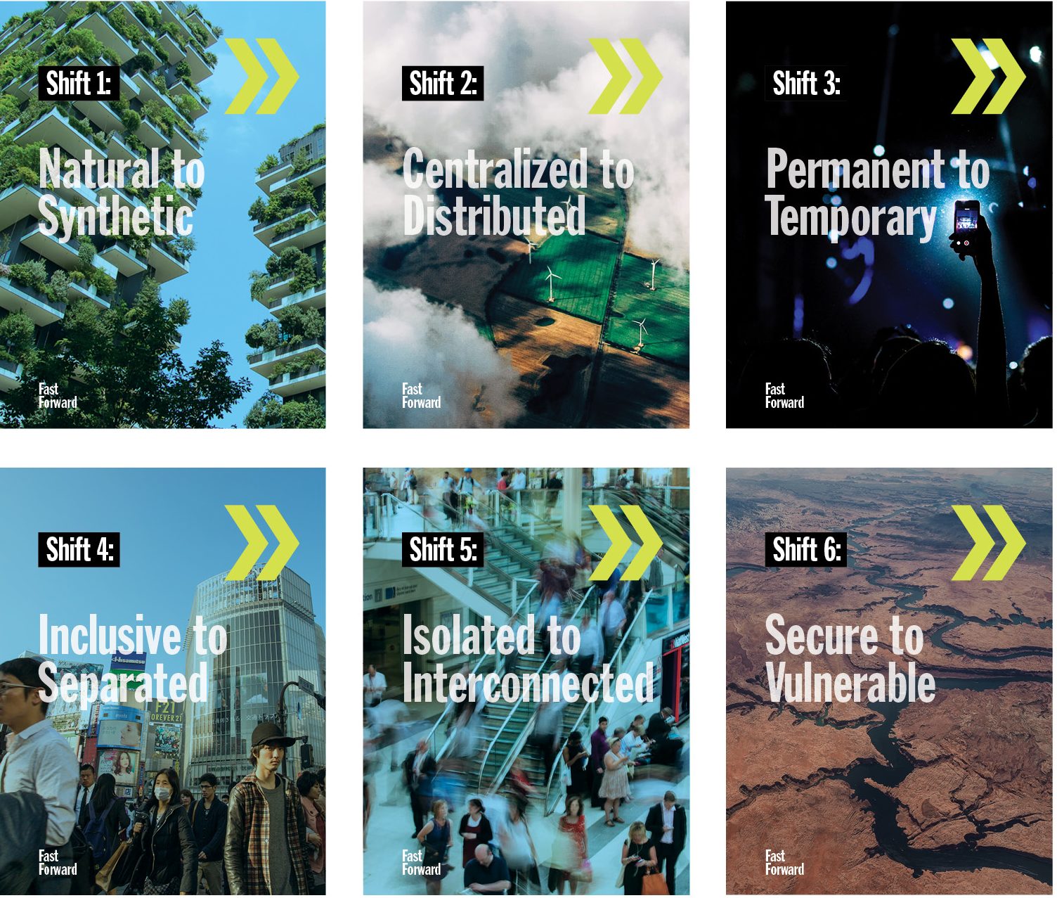
- We developed a 100-page Horizon Scan to articulate signals of change summarized into 6 key Shifts relevant to the project, and 7 significant Drivers of Change. Information we gleaned from 21 international specialist interviews was incorporated into the findings.
- We created 5 comprehensive Narratives (Scenarios) based on the scenario archetypes, (Growth, Transformation, Voluntary Discipline, Involuntary Discipline and Collapse) as seen through the experience of imagined personas. Each Future Narrative included a back-cast, contextual description and parameters of differentiation.
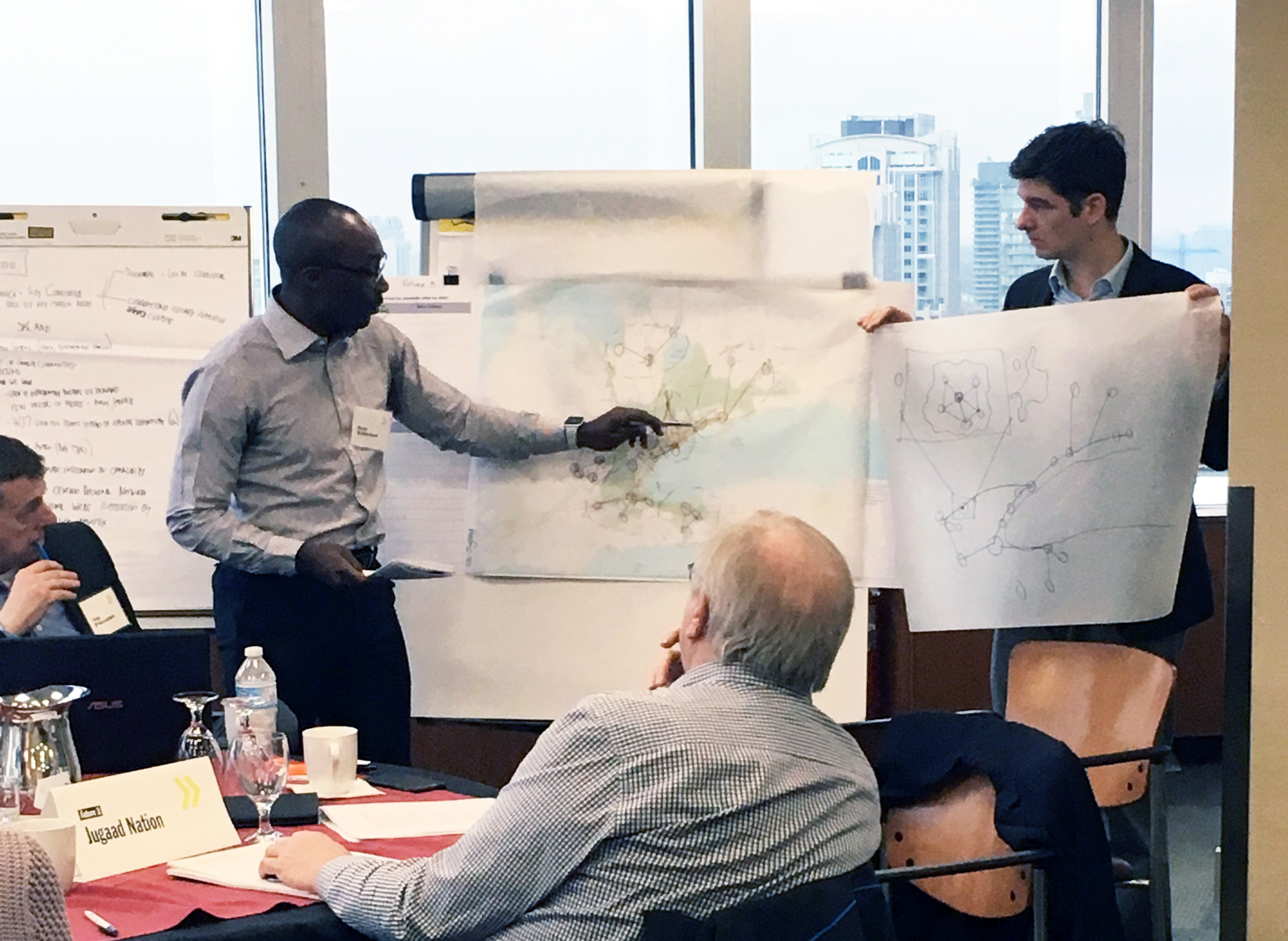
- We facilitated and designed co-creative Futures workshops where participants translated the research inputs into transportation and land-use representations using progressive frameworks.
Scenarios
For each Narrative, we explored the complex dynamics of different interactions of economic activity (what is traded & how, who works doing what, and the trajectory of growth or decline), as well as societal characteristics (open, controlled societies, employment, philosophies of life) and environmental conditions (climate change conquered, mitigated, or environmental collapse). By tangibly expressing the futures in this way, we helped participants to geographically map how land would be used (where people lived, locations of employment, agricultural activity, etc.) and the transportation networks that would be necessary to support each imagined Future Scenario.
Using the various trajectories, this exploration enabled planners to craft a preferred and aspirational vision for sustainable transportation in the Southern Ontario region to the year 2071 that will serve for resiliency development planning to 2051.
The reports and documents from this project are confidential.
[/one_half_last]
[one_half]

[/one_half]
[one_half_last]
Tangible Futures
For each narrative, we explored the complex dynamics of different interactions of economic activity (what is traded & how, who works doing what, and the trajectory of growth or decline), as well as societal characteristics (open, controlled societies, employment, philosophies of life) and environmental conditions (climate change conquered, mitigated, or environmental collapse). By tangibly expressing the futures in this way, we helped participants to geographically map how land would be used (where people lived, locations of employment, agricultural activity, etc.) and the transportation networks that would be necessary to support each imagined world.
Using the various trajectories, this exploration enabled planners to craft a preferred and aspirational vision for sustainable transportation in the region to the year 2071.
[/one_half_last]


No Comments.